Quick Info:
Nearest Town: Jefferson City                         Seasonal Closure?: None
Trail Rating: Class 2.5 Length: 10.4 Miles to the lakes from interstate
High-Clearance Required: Yes Wide/Long Vehicles: Width Concerns-tight trail
Trail Type: Same in/out
|
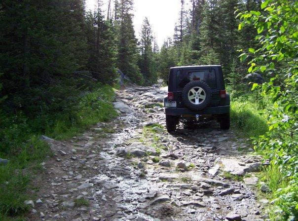
The Tizer Basin is a beautiful and popular destination in the Elkhorn Mountains and part of the Elkhorn Wildlife Management Unit. It’s close proximity to Helena, Montana’s capital city makes it is a great trail for those who enjoy the beauty of our great back yard and do not desire an extreme trail experience or want get too far from civilization. It is just a nice off-road experience...a very bumpy one, but nice. If you are not familiar with airing down to smooth out the road, it might be good to familiarize yourself before this trip.
The trail from the pavement to a mid-point intersection, we call 4-corners, is a Class 2 trail. It is BUMPY but can be done in 2 wheel drive in the summer months. It is not uncommon to see lower clearance 4x4s like the Subaru on this part of the trail. The turn to the Tizer Lakes has some interesting mud holes (all rock bottomed) and some higher clearance 4H spots. The trail from the 4-Corners intersection to the Tizer Lakes is a Class 2.5, giving the trail an overall class 2.5 rating.
|
 |
| Air down or be vibrated to death |
|
|
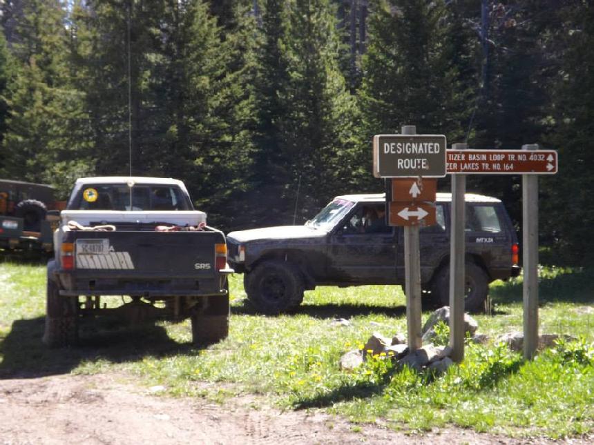
Getting to 4 Corners: (on Trail # 164)
The Tizer Road starts just outside of Jefferson City. From I-15 take the Jefferson City exit #176. Turn east (away from Jefferson City) as you come off the Interstate. At the next stop sign, take a right onto HWY 282 (the frontage road) heading south. The road will curve to the east and pavement will end quickly. You are now on the Tizer Road. Note, in summer months the lower section of the Tizer Road can see heavy vehicle traffic so drive with care. About 3 miles from where the pavement ends, there is a parking area which is suitable for parking trailers and airing up/down. From there, just follow the main road. 4 Corners is right at 8 miles from where the pavement ended. You can’t really miss it.
Coordinates to 4-Corners: 46°20'34.5"N 111°53'31.3"W - 46.342916, -111.892014
|
 |
| Four Corners |
|
|
Going to the Tizer Lakes: (Trail #164)
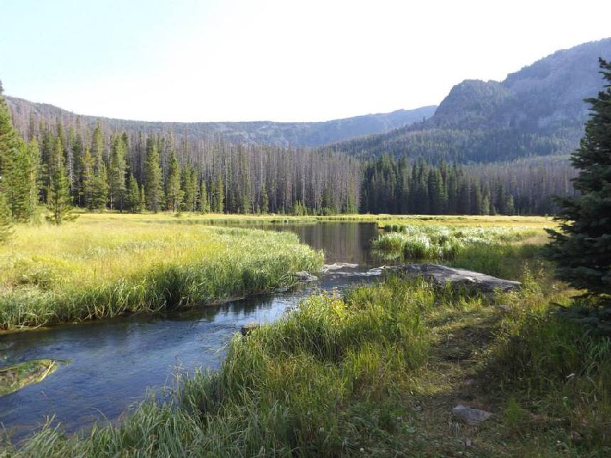
This one is pretty easy. Once you take the right at 4 Corners and head towards the lakes, there are no open side roads to get lost on. Even the one fork come together in the same spot a little further up the trail. Just stay on the road and you will eventually get to the lower and then the upper lakes. The lower lake is about 2.5 miles from 4 corners. You cannot drive past the upper lake. However, if you are a hiker, there are two GREAT lakes beyond the little Tizer lakes. Glenwood Lake and Hidden Lake are beautiful and great fishing too...though the fish can be quite finicky. :)
Coordinates: Lower Tizer Lake: 46°18'48.5"N 111°53'19.4"W - 46.313482, -111.888710
|
 |
| The Lower Tizer Lake |
|
|
 |
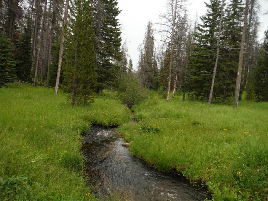
| Wilson Creek (on the loop) |
|
|
NOTE: We are simply describing a 4x4 route. We accept no responsibility for your decisions. 4x4 off-roading can be great fun but it can also be dangerous. People can get hurt and vehicles can get stuck and/or damaged. Trail conditions can, do, and will, change at any time. Road conditions may no longer be accurately reflected in this or any trail description. Only you can decide what trails or obstacles your experience and vehicle can safely navigate. When in doubt, turn around. Wheel Safe!!
|
|